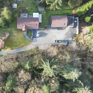
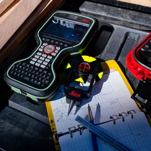
Land surveying has come a long way, thanks to advancements in technology. One such innovation that's revolutionizing the industry is the use of drones. These unmanned aerial vehicles are equipped with high-resolution cameras and GPS technology, making them invaluable tools for land surveyors. Whether you're in the Comox Valley, North Island, or other areas of Vancouver Island, understanding the role of drone technology in modern land surveying is essential.
The Benefits of Drones in Land Surveying
- Efficiency: Drones can cover large areas quickly, saving time and resources in surveying projects.
- Precision: The high-resolution imagery and GPS technology provide accurate data for mapping and measurements.
- Safety: Drones can access hard-to-reach or hazardous areas, reducing risks to surveyors.
- Cost-Effectiveness: Drones can offer cost savings compared to traditional surveying methods.
- Environmental Monitoring: Drones are used to monitor environmental changes, such as vegetation growth or land erosion.
Applications of Drone Technology in Land Surveying
- Topographic Surveys: Drones capture data on the terrain, vegetation, and land features.
- Construction Site Monitoring: Drones provide real-time data on construction progress and accuracy.
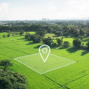
- Boundary Surveys: Accurate aerial imagery helps define property boundaries.
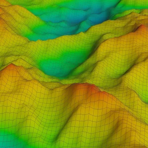
- Elevation Mapping: Drones create precise elevation models for various purposes.
- Environmental Assessments: Drones monitor changes in the landscape and natural features.
Petras Land Surveying is at the forefront of using drone technology for land surveying in Vancouver Island. If you're considering a land surveying project, consider the benefits of this innovative approach, which combines precision, efficiency, and safety to deliver accurate results.

