quantifiable measurements
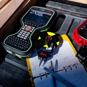
Our state-of-the-art survey equipment, adjustment software and advanced measuring techniques enable us to establish High Precision Control Networks for our clients to work with.
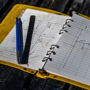
After defining the scope of the project through a team consultation, we will inspect the site to determine the best locations to establish control points. Following installation and field measurements, the data is carefully processed and the results are analyzed to provide our client with a precise and accurate survey network.
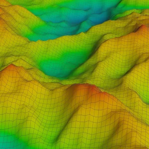
We offer the expertise to develop and implement a Deformation Monitoring Plan when projects require the stability of a structure or a land feature to be determined. Deformation Monitoring provides quantifiable measurements that identify any potential movement, allowing for proactive actions to be implemented to mitigate risks and protect our clients’ investments.

trustworthy land surveyor near you
Covering all of Vancouver Island
Recent Articles
Understanding the Vital Role of Land Surveyors in Property Development
When embarking on a property development project, whether in the picturesque Comox Valley or beyond, the importance of land surveyors cannot be overstated. These professionals play a crucial role in ensuring that your project proceeds smoothly, adhering to legal requirements and design specifications. The Key Responsibilities of a Land Surveyor Land surveyors, also known as…
Read MoreUnraveling the Mystery of Strata Title Surveys
If you’re looking to develop properties on Vancouver Island, especially in the vibrant Comox Valley, you may come across the term “strata title surveys.” But what exactly are they, and why are they essential for your property development project? Let’s dive into the world of strata titles and the role they play. Understanding Strata Title…
Read MoreThe Role of Land Surveying in Subdivision Planning
Subdividing land is a common practice when it comes to property development. Whether you’re looking to create a residential community or divide a large parcel of land for various purposes, land surveying plays a pivotal role in ensuring a successful and compliant subdivision. Here’s a closer look at the importance of subdivision surveys and their…
Read MoreEnsuring Property Boundary Clarity with Reference Plans
Property boundaries are the foundation of land ownership, and ensuring their accuracy and clarity is essential for avoiding disputes and legal issues. Reference plans, created by land surveyors, are a valuable tool in this regard. Let’s explore the importance of reference plans and their role in maintaining property boundary clarity in Vancouver Island and beyond.…
Read MoreThe Art and Science of Easements and Rights of Way
Easements and rights of way are legal instruments that grant permission to individuals or entities to access or use a portion of another person’s land for a specific purpose. These concepts play a vital role in property ownership, land development, and infrastructure planning. In this article, we explore the art and science of easements and…
Read MoreA Guide to Construction Layout Surveys
In the world of construction, precision and accuracy are non-negotiable. A vital tool in ensuring that building projects are executed flawlessly is the construction layout survey. Whether you’re planning a project in the Comox Valley, North Island, or elsewhere, understanding the importance of these surveys can make a significant difference. In this guide, we explore…
Read MoreElevation Certificates: What You Need to Know
If you own property in a flood-prone area or are planning to buy one, you’ve likely come across the term “elevation certificate.” Understanding what it is and why it matters can make a significant difference in protecting your investment and ensuring your property’s compliance with local regulations. In this article, we’ll dive into elevation certificates…
Read MoreLand Surveying in Property Development: A Key to Success
In the world of property development, the role of land surveying cannot be overstated. Land surveyors are the unsung heroes behind the scenes, ensuring that projects proceed with precision, compliance, and success. Whether you’re planning a development project in the Comox Valley, North Island, or other areas of Vancouver Island, understanding the importance of land…
Read MoreThe Role of Drone Technology in Modern Land Surveying
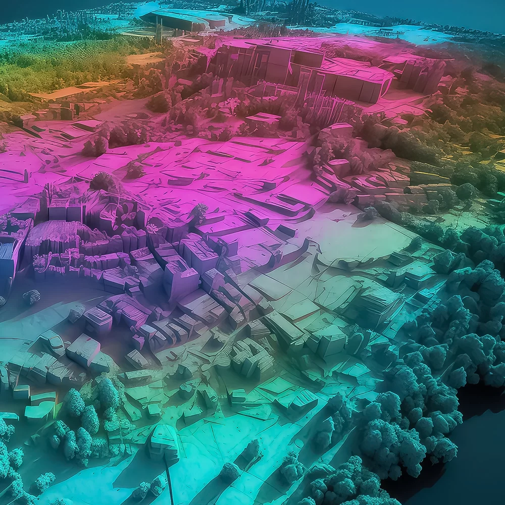
Land surveying has come a long way, thanks to advancements in technology. One such innovation that’s revolutionizing the industry is the use of drones. These unmanned aerial vehicles are equipped with high-resolution cameras and GPS technology, making them invaluable tools for land surveyors. Whether you’re in the Comox Valley, North Island, or other areas of…
Read MoreUnlocking the Potential of Specialized Logging Surveys
The lush forests of Vancouver Island have long been a valuable resource for the region, with forestry playing a significant role in the local economy. However, sustainable and responsible logging practices are essential to maintain the health of these ecosystems. Specialized logging surveys, conducted by experienced land surveyors, are key to achieving this balance. In…
Read More
